
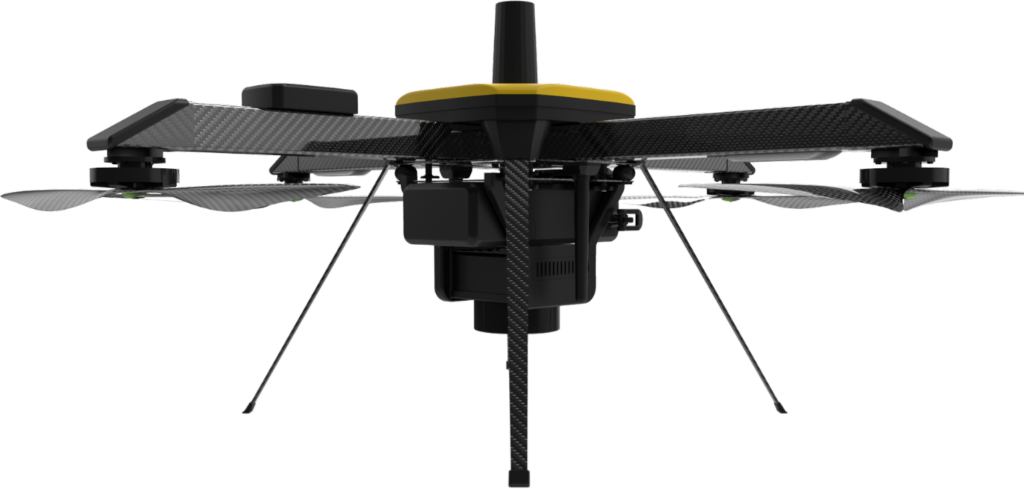
Mapping Payload
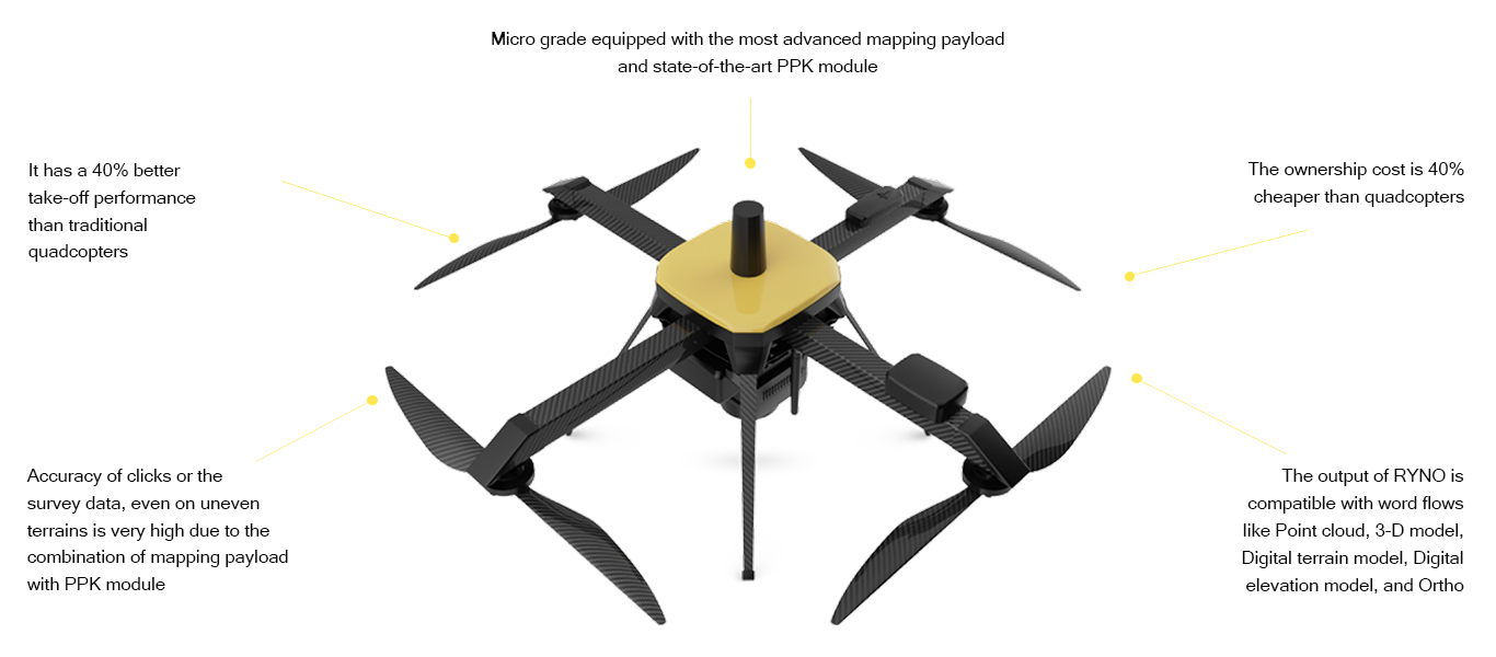
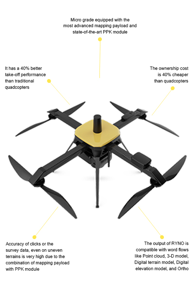
Micro grade equipped with the most advanced mapping payload and state-of-the-art PPK module.


Image accuracy
The accuracy of clicks or the survey data, even on uneven terrains is very high due to the combination of mapping payload with PPK module.

System Support
The output of RYNO is compatible with word flows like Point cloud, 3-D model, Digital terrain model, Digital elevation model, and Ortho.
")
Ground sampling distance can be done at less than 5 cm.


The camera resolution is more than 20 MP.
Storage is 64 GB and is expandable

The APS-C (advanced photo system) is a CMOS-based Sony sensor.

Volumetric Estimation
Volumetric and stockpile estimation is a precise and critical activity that ideaForge drones can complete with accuracy and speed.
Mining Area Planning and Mapping
Get accurate, high quality, real-time aerial footage and 3D maps of mining sites with ideaForge drones
Oil and Gas
These drones can effortlessly capture and provide in-depth details of flare stacks, oil rigs, and pipelines to diagnose faults and save time and money.